


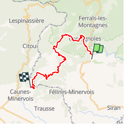

13,8 km | 21 km-effort

Benutzer


Kostenlosegpshiking-Anwendung
 SityTrail
IGN / Geografische Institute
SityTrail World
Die Welt öffnet sich für Sie
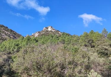
Tour Mountainbike von 23 km verfügbar auf Okzitanien, Hérault, La Livinière. Diese Tour wird von tracegps vorgeschlagen.
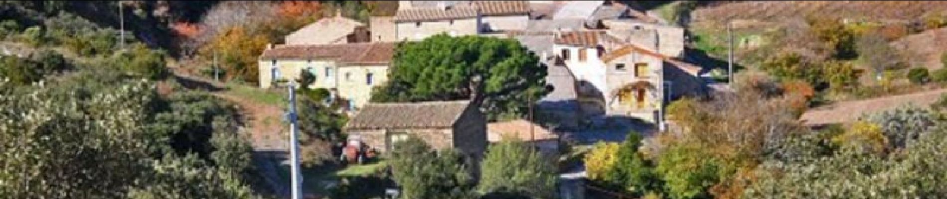
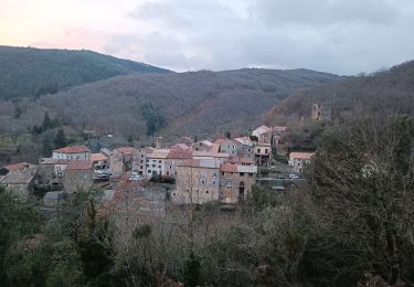
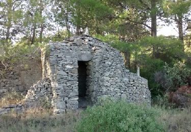
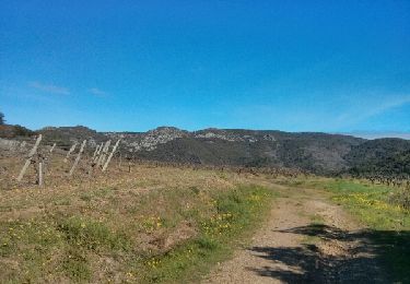
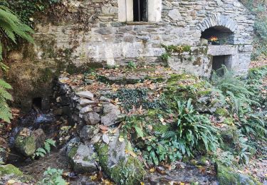
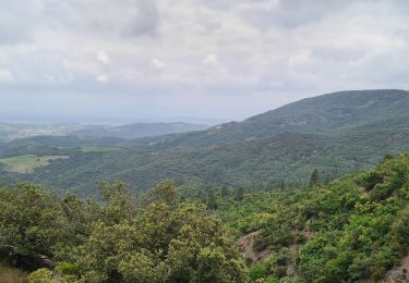
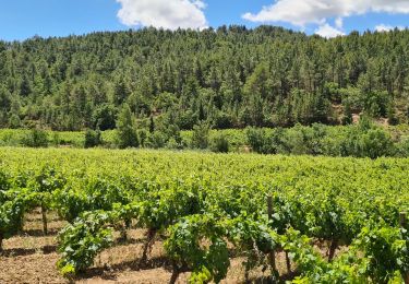
Grande Traversée de l'Hérault à VTT - itinéraire Sud - de St Julien des Molières à Notre Dame du Cros. Itinéraire officiel s'appuyant sur le Réseau Vert® et labellisé par la Fédération Française de Cyclisme. En pays d’Aude, au pied de la Montagne Noire et surplombant légèrement la plaine du Minervois, Caunes Minervois est un village au patrimoine historique et culturel très riche. Proche de la Méditerranée, mais bien installé sur les contreforts de la montagne, le village bénéficie d’un microclimat exceptionnel qui favorise l’élaboration des meilleurs vins. La cité de Caunes, construite autour d'une abbaye bénédictine fondée en 780, est traversée par l'Argent Double, un petit affluent de l’Aude qui coule toute l’année. Ses ruelles anciennes révéleront au promeneur attentif les vestiges de l’enceinte fortifiée qui protégeait le village, mais aussi quelques hôtels particuliers qui avec l’abbaye, caractérisée par ses deux clochers, constituent de véritables trésors. Téléchargez la fiche de ce tronçon. Cet itinéraire est accessible aux randonneurs à pied et aux cavaliers en suivant les bornes vertes. Le balisage de la Grande Traversée est à double sens alors que le Réseau Vert est balisé dans le sens Est-Ouest.


Wandern
Wandern

Zu Fuß
Wandern
Wandern
Wandern
Wandern
Wandern